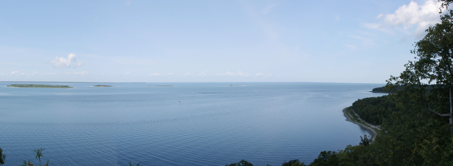
Maps can be great tools for helping us with any number of tasks, but most maps are quite limited. They do a poor job of capturing the stories and culture of the natural places in our communities that inspire and trouble us. Moreover, maps are often made by experts, with little or no input from the people who use them and live in the places they depict. When combined with the analytical power of geographic software, these narratives about particular locations, or spatial narratives, can potentially enrich our understanding of, and appreciation for, the places where we live and the collective value they hold for the people who live and visit there.
With this in mind, we have designed a suite of web-based and mobile applications for collecting and constructing place-based stories that we call spatial narrative geotools. The geotools allow citizens to create and map natural and cultural observations of their community or place using their unique perspective. Their story is then added to the observations of others to create a shared story about the places that are collectively important to them. People can view or add to these shared observations using our app, and in doing so collect and construct place-based stories. As more users participate, these place-based stories can potentially enrich our understanding of, and appreciation for, the places where we live and the collective value they hold for the people who live and visit there.
