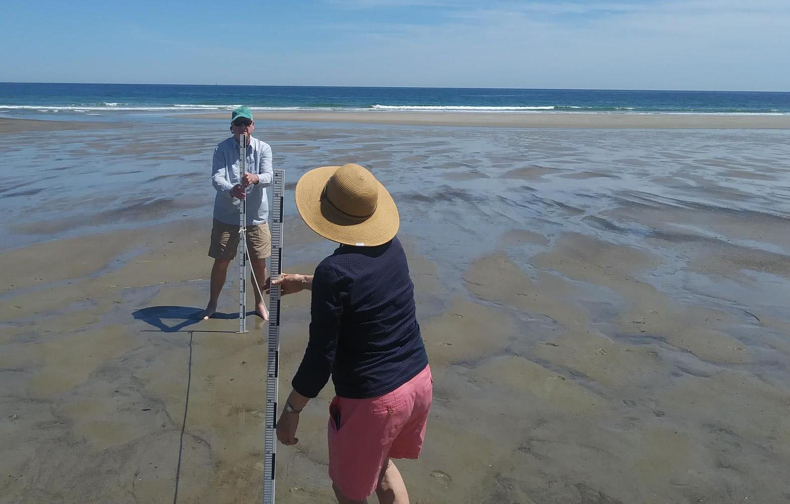
Started in 1999, monitoring by over 100 community volunteers and students on about 12 sandy beach systems in southern Maine on a monthly basis, on the lowest tides. The program was initiated as a 2 year Sea Grant research project and Maine Sea Grant led the evolution of the research project to a long-term monitoring program. The data are used by Maine Geological Survey to produce the biannual State-of-Maine’s Beaches Report and guide beach management decision making such as permitting by the Maine Department of Environmental Protection, post-dredge monitoring by Army Corps of Engineers, calculating sand budgets in regional embayments, etc. The program is primarily funded through the municipal budgets of the Cities and Towns where beaches are monitored.